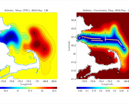
Machine Learning Reduces Uncertainties in Ocean Forecasts
Using a new machine learning (ML) framework that fuses multi-fidelity data in space and time, researchers at MIT Sea Grant have been able to forecast temperature and salinity fields in Massachusetts Bay and beyond. This ML approach combines…
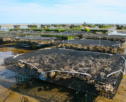
Shellfish Aquaculture Webinar Series with the National Sea Grant Law Center
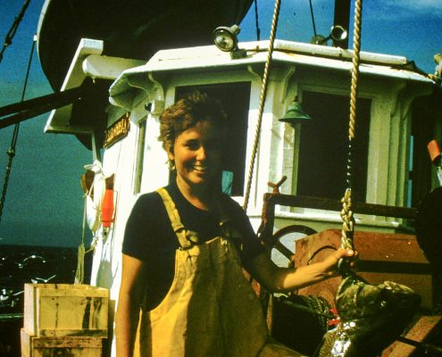
MIT Sea Grant helps integrate New Bedford’s fishing heritage with the surrounding community
MIT Sea Grant helped launch the New Bedford Fishing Heritage Center by securing grant funding and designing exhibits to connect the local community in New Bedford with their thriving commercial fishing port.
Commercial fishing is a significant…
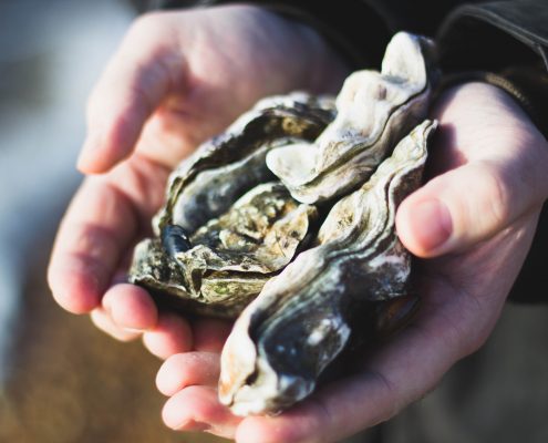
MIT Sea Grant funded researchers building sensors to detect pathogens and ensure healthy oyster farming
MIT Sea Grant funded researchers are building a sensor to detect when bacteria that live on oysters become pathogenic and can cause illness in humans, informing aquaculture operations, production planning, and management.
The relevance of…
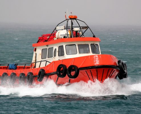
MIT Sea Grant fisheries emergency manual expanded to include fishing communities in Maine and New Hampshire
MIT Sea Grant adapted information from community leader interviews, based on a step-by-step manual designed to help fishing communities in Massachusetts, Maine and New Hampshire to help them prepare for and respond to crises.
1st Edition…
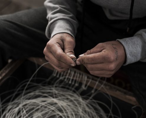
MIT Sea Grant Coastal Program increases literacy and workforce development in fisheries and coastal resources
The MIT Sea Grant Coastal Resources Program trained and educated nine interns and 1,655 students, teachers, citizen scientists, volunteers, and public groups in fisheries management, coastal ecology, and ecosystem services.
MIT Sea Grant…
“Digital Ocean” Development through Geospatial Data Visualization
MIT Sea Grant Coastal Resources Program Geospatial Data Analysis and Visualization System Development
MIT Sea Grant is developing the “Digital Ocean”, a marine data storage, analysis, and visualization system for use by scientists, resource…

